GIS 3015 sp12 Mapblog
Monday, April 2, 2012
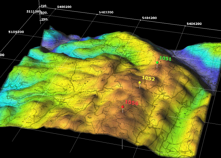
Digital Elevation Model
http://www.sciencegl.com/gis_dem/index.html
This DEM map shows the elevation of a landscape in three dimensions. It uses vectors and was probably created with remote sensing equipment.
No comments:
Post a Comment
Newer Post
Older Post
Home
Subscribe to:
Post Comments (Atom)
No comments:
Post a Comment